
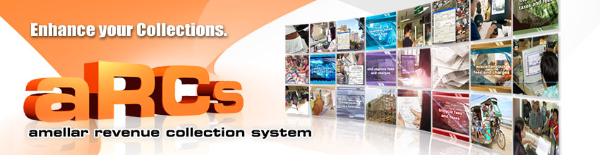
Amellar Revenue Collection System
An affordable, highly customized system application specifically designed for local government unit treasurers to help them organize and consolidate all their collection transactions.

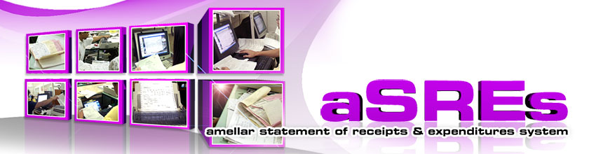
Amellar Statement of Receipts & Expenditures System
A highly advanced system for capturing and reporting receipts and expenditures specially customized for the local government unit treasurers in the country.
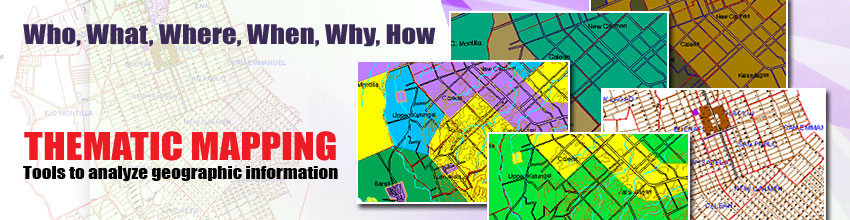
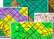
Amellar GIS: Thematic Mapping
A mapping solution that allows users to create different types of maps according to their needs or purposes. It can combine basic information that tells you WHO, WHAT, WHERE, WHEN, WHY and HOW.
Business Permits & Licensing System
Simplifies business permits and licensing operations by automating the permit application process, assessment of taxes and fees, billing, payment, and liquidation of collections.


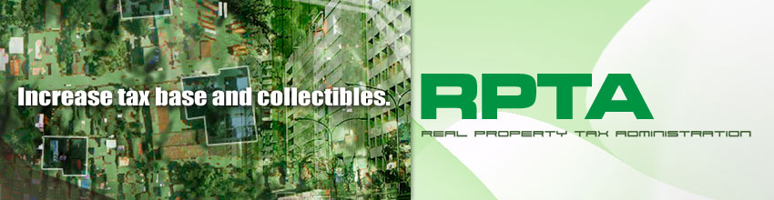
Real Property Tax Administration System
Computerizes and seamlessly intergrates the comprehensive appraisal, assessment, billing, and collection of real property taxes which also covers the RPTA functions and activities of the assessor's and treasurer's offices.


Our Products
Geoleksyon
Elevating Electoral Campaigns
Running and winning an electoral campaign is now undeniably more difficult and expensive. It is commonly accepted that the candidate with the most "guns, goons and gold" prevails. And yet, even underdogs triumph when they embark on an effective and targeted campaign, when they have a well-informed voting public, and when they have a strong and wide support base.
When you know your voters best - and you can make this knowledge work to your advantage - you are a step ahead in the electoral contest. And in this age of information and communication technology (ICT), the determined candidate who invests in the appropriate computer application steps closer towards victory.
Amellar® Solutions - a pioneering ICT company - is proud to introduce eleksyon® and geoleksyon® - the first locally developed election-related software especially designed for the Philippine political environment. eleksyon® and geoleksyon® are envision to elevate Philippine electoral campaigns into a battle of issues and platforms from a mere contest of personalities or popularity. eleksyon® and geoleksyon® will help candidates increase the odds of victory in any electoral campaigns.
eleksyon® and geoleksyon® are the product of several years of research and actual testing during the 1995, 1998, and 2001 elections. Both are practical tools for leveraging information and measuring impacts of resources and activities. They have already helped 15 major candidates win elections. With eleksyon® and geoleksyon®, you can build complex and visual databases of your supporters and entire operations to enable you to act with precision, decide based on facts, move faster and smarter than your opponent, anticipate problems, rationalize expenses, and get results from your political workers and volunteers.
Your Political Map
geoleksyon integrates the database technology in eleksyon with geographic information system or GIS technology. With geoleksyon, all inputted data on the eleksyon database can be geograhically referenced on digital maps. geoleksyon is a powerful tool that allows candidates, campaign managers and political officers to visualize the breadth and depth of its support base. At the same time, it provides an authoritative instrument for planning detailed campaign activites and projects.
geoleksyon also includes digital maps for the specific electoral contest area (city, municipality, province, congressional district, barangay). The digital maps contain the following -
- Geographic features of streets, bridges and water bodies with topology and their corresponding unique labels.
- Center line features of streets and water bodies with corresponding unique labels.
- Indicative political boundaries with demographic data and topology.
geoleksyon is a full-featured GIS application that is easy to install and use. The three main features of geoleksyon are Political Geo-plotting, Electorate Mapping and Organization Mapping.
Political Geo-Plotting
Under Political Geo-Plotting, you can perform tasks that are essential in projecting your mapped information as follows -
- Precinct Plotting. Define your precinct boundaries using the voters' list by precincts, or any existing precinct description or manual maps as reference. You can also visually monitor the number of registerd voters covered by a precinct, and thereby verify the validity of the voters' list.
- Geo-tagging. Represent each registered voter as a single point in the map, and attach all available information about that voter. This enables you not only to determine the distribution and concentration of voters throughout the area covered but their individual profiles as well.
- Propaganda Plotting. Track your posters, billboards, streamers or any propaganda paraphernalia already in place or distributed and indicate areas where additional propaganda materials are needed. Also display the actual images of the propaganda materials, complete with description such as size and type.
Electorate Mapping
With Electorate Mapping, you can create layers of unlimited variety of digital maps - such as demography, election returns, election turnout or evey survey results - and display other information such as projects, events, activities, and issues. This will help you decide what specific interventions are necessary to achieve certain targets in identified areas. Specific features of Electorate Mapping include -
- Projects Mapping. Map your encoded projects from eleksyon, and represent each by a single point with a unique symbol that contains all the relevant information concerning that project.
- Events Mapping. Map your encoded events from eleksyon either as points or lines. This allows the candidate to maximize public exposure when attending social events - such as parades or religious processions - by knowing in advance the characteristics of the routes and the voters' profile in those areas.
- Activities Mapping. Map your encoded activities from eleksyon either as points or lines. This is useful in scheduling and organizing political sorties, routing walkthroughs or motorcades, and other similar activities.
- Issues Mapping. Map your encoded issues from eleksyon either as single points or polygons representing the affected area.
- Voter Preference Mapping. Map your encoded candidate/s preferences of voters and degree of support (hard-pro, soft-pro, undecided, hard-anti, and soft-anti).
- Voter Search. Search for registered voters with specific criteria such as surname, age, birth date and more. This also facilitates locating the exact polling place for each voter.
Organization Mapping
Under Organization Mapping, you will be able to map out the distribution of your human resources across the campaign area. Its specific features include -
- Political Organization Mapping. Map the geographic assignments of each of your campaign staff (political officers, poll watchers, volunteers and all other staff) and their respective relationships to voters.
- Support Organization / Group Mapping. Map the area of influence of each allied organization or group, be it political, civic, or religious, which may include the geo-tagging of their member voters.