Transforming Location-Based Data for Smarter Decisions
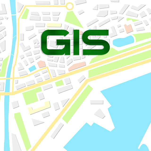
A Geographic Information System (GIS) is a powerful digital tool that captures, analyzes, and visualizes spatial data to enhance decision-making in various fields, including urban planning, land management, environmental monitoring, and public services.
Key Features & Benefits:
✅ Data Collection & Mapping – Gathers geographic data from satellites, surveys, and GPS to create precise maps.
✅ Spatial Analysis & Insights – Helps identify trends, patterns, and relationships between geographic elements.
✅ Infrastructure & Urban Planning Support – Assists in city development, zoning regulations, and disaster preparedness.
✅ Land & Resource Management – Optimizes environmental conservation, agricultural planning, and natural resource tracking.
✅ Public Services Enhancement – Supports transportation routing, utility mapping, and emergency response planning.
With GIS technology, organizations can make data-driven decisions, improve operational efficiency, and better understand geographic influences affecting their industries and communities.